Swath Verification
Verify spray coverage and identify skips or overlaps in your application program.
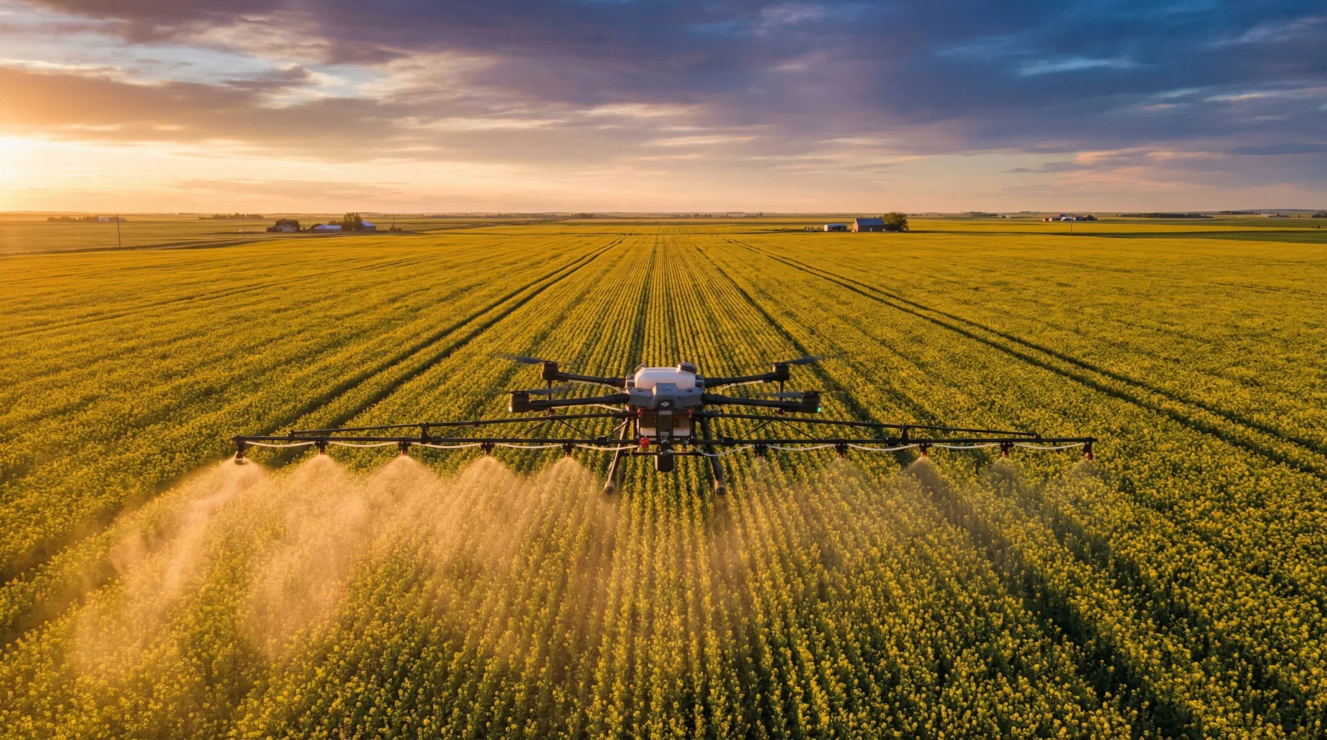
Confirm Every Acre Is Covered
Missed spray passes cost you money — whether it's weed escapes that rob yield or double-applications that waste expensive crop protection products. Our swath verification service uses high-resolution drone imagery to confirm complete, uniform coverage across your entire field.
This service is especially valuable for Alberta grain farms using aerial or custom ground applicators. After a spray application, we fly your field and generate a detailed coverage map showing exactly where product was applied, where skips occurred, and where overlaps may have resulted in excessive application rates.
Swath verification is also a powerful quality assurance tool for custom applicators looking to demonstrate the quality of their work to clients. The georeferenced maps we produce provide clear, objective evidence of application coverage that can be shared with your agronomist or kept as part of your farm records.
How It Works
Schedule the Flight
We fly your field within hours of spray application to capture fresh coverage data.
Aerial Survey
Our drones capture high-resolution imagery across the entire field at low altitude for maximum detail.
Analysis & Report
We process imagery to identify skips, overlaps, and coverage gaps, delivered as a georeferenced map.
Key Benefits
Related Services
Frequently asked questions
Why verify swath coverage after a spray pass?
Even with GPS-guided application, real coverage varies - wind drift, nozzle blockages, off-rate zones, and skip strips all happen. Swath verification with a drone scan reveals these patterns before they show up as crop yield loss.
How soon after spraying can you verify the swath?
Best window is 3-7 days after application, when herbicide or fungicide response is visible in the canopy. Earlier flights miss the response; later flights blur with other field variation.
Can you verify swath on someone else's spray application?
Yes - UAV AG verifies fixed-wing aerial, ground-rig, and other-operator drone passes. Independent verification is especially valuable in custom-applicator disputes.
What does the report show?
A coverage heatmap overlaid on the field boundary, identification of skip strips and over-laps, plus a quantitative coverage percentage. Reports are PDF + georeferenced KML for sharing with crop insurance or applicators.
How much does swath verification cost?
$3-$5 per acre depending on field complexity and turnaround. Same-day verification is available for active disputes with custom applicators.
Verify Your Spray Coverage
Don't leave spray quality to chance. Contact us for a swath verification survey after your next application.
Request a Quote