Frost Damage Assessment
Rapid post-frost surveys to assess crop damage and support insurance claims.
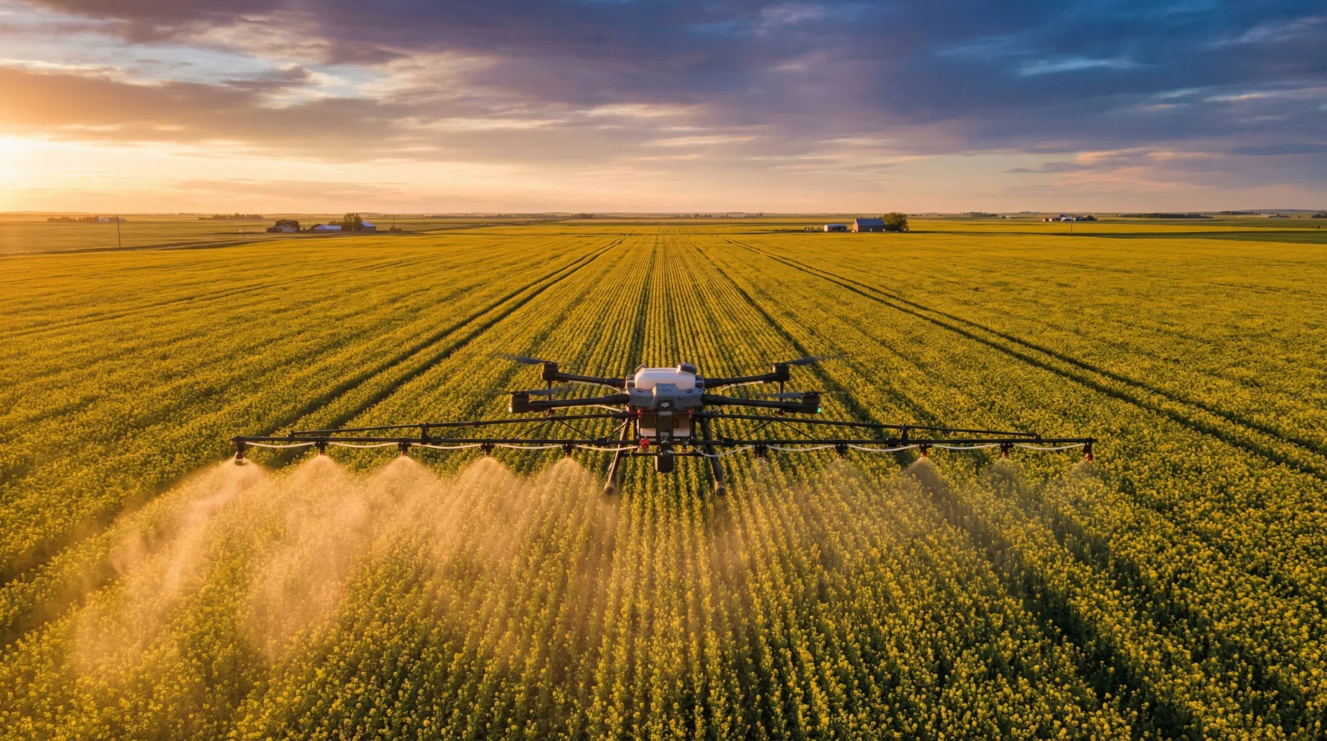
Document Frost Damage Quickly and Accurately
Late spring frosts and early fall freezes are a reality of farming in Alberta. When frost hits your crop, you need to know the extent of the damage quickly — both for making replanting decisions and for filing insurance claims with AFSC (Agriculture Financial Services Corporation).
Our frost damage assessment service uses multispectral drone imagery to map the full extent of frost injury across your fields. Unlike ground-based scouting that relies on sample points, drone surveys capture every acre, revealing the true pattern of damage including areas that may look fine from the road but are severely affected.
Multispectral NDVI analysis can detect frost stress in plant tissue before visual symptoms fully develop, giving you earlier and more accurate damage estimates. The georeferenced maps we produce show damage severity zones across the entire field, with precise acreage calculations that are accepted by crop insurance adjusters as supporting documentation.
Alberta's climate makes frost risk a constant concern from May through September in many regions. Having a rapid-response drone survey available means you can document damage within days of an event, while evidence is fresh and before crop recovery makes assessment more difficult.
How It Works
Frost Event Reported
After a frost event, contact us to schedule a rapid-response flight over your affected fields.
Aerial Assessment
We fly multispectral and RGB surveys to capture damage across the entire field, not just sample points.
Damage Report
Receive a georeferenced damage map showing affected zones, severity levels, and total acreage impacted.
Key Benefits
Related Services
Frequently asked questions
How soon after a frost should I fly?
24 to 72 hours after the frost event, depending on temperature severity. Damage symptoms (whitening, wilting, leaf necrosis) typically peak in this window. Earlier flights miss subclinical damage; later flights blur with natural maturation.
Does the survey support AFSC insurance claims?
Yes. UAV AG delivers georeferenced damage maps and high-resolution imagery that AFSC adjusters routinely accept. Talk to your AFSC contact about specific evidence requirements before the flight.
What crops are most amenable to drone frost assessment?
All major Alberta crops - canola, wheat, barley, peas, lentils, forages. Canola at flowering and pulse crops at bloom show the clearest damage patterns from above.
Can drone imagery quantify severity, not just extent?
Yes - multispectral NDVI changes between a pre-frost baseline (if available) and the post-frost survey quantify percent damage by zone. Without a baseline, severity is estimated from canopy reflectance and ground-truth checks.
How fast can you respond after a frost event?
UAV AG aims for 48-hour response to frost calls in our home region (Flagstaff/Camrose/Wainwright/Stettler). Calgary and Edmonton corridor jobs are scheduled within 72-96 hours depending on weather windows.
Frost Hit Your Crop? We Can Help.
Get a rapid post-frost assessment to document damage and support your insurance claim. Contact us today.
Request Urgent Assessment