Field Mapping
Centimetre-accurate orthomosaic maps, elevation models, and drainage analysis at 200+ acres per hour.
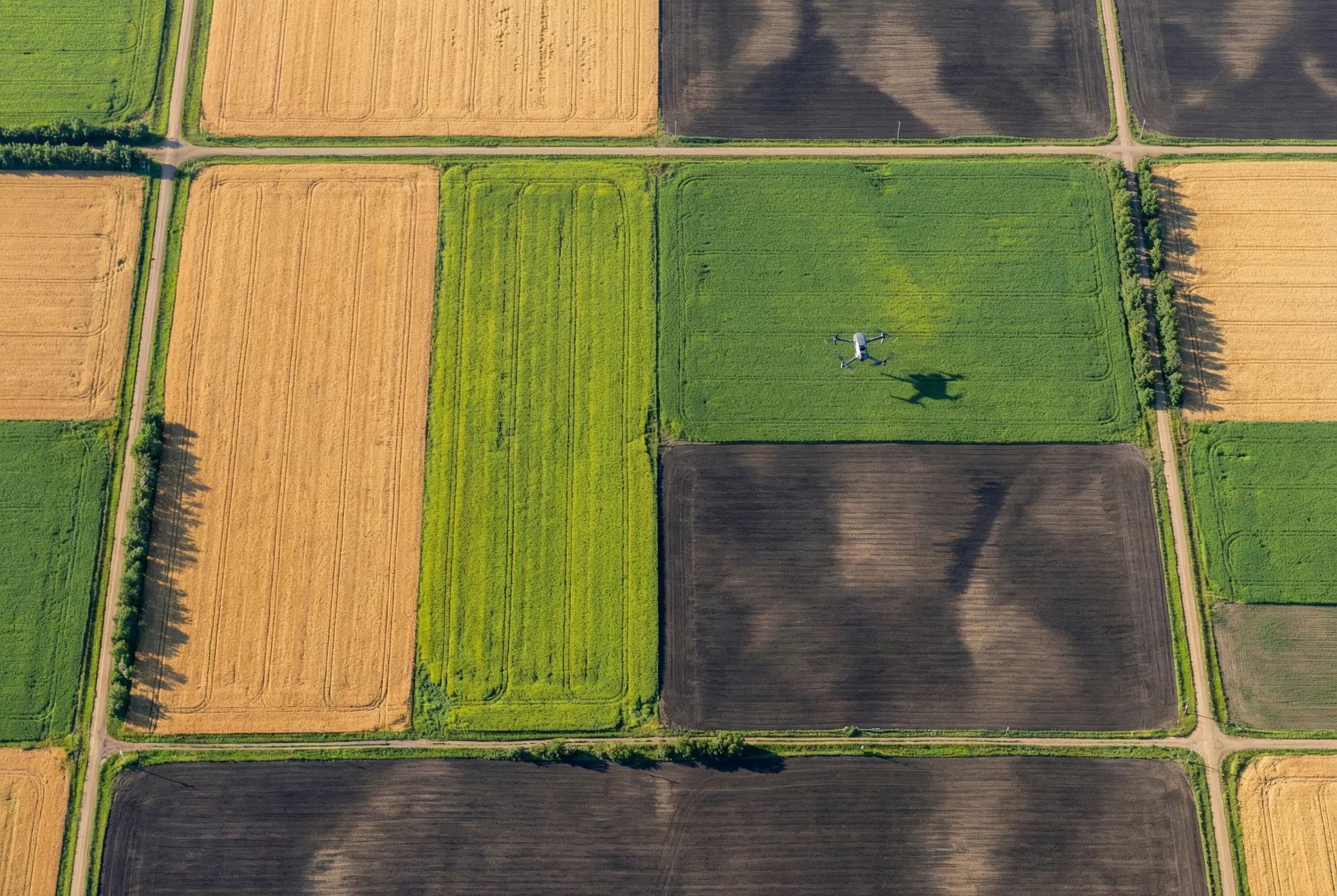
See Your Fields Like Never Before
Generate detailed orthomosaic maps, digital elevation models, and drainage analysis of your fields. Identify low spots, compaction zones, and field boundaries with centimetre-level accuracy for better agronomic decisions.
Our mapping drones use RTK-corrected GPS and high-resolution cameras to capture thousands of overlapping images, which are processed into seamless orthomosaic maps and precise 3D elevation models. The result is a detailed picture of your field's topography that reveals drainage patterns, identifies potential trouble spots, and supports precision ag decisions.
Whether you're planning new drainage, building prescription maps for variable-rate seeding, or simply want to know where water collects in your fields after a heavy rain, our mapping service gives you the data you need. All deliverables integrate with popular farm management platforms including John Deere Operations Center, Climate FieldView, and AGCO AgCommand.
Key Benefits
Applications
Related Services
Frequently asked questions
What deliverables come with a drone field mapping job?
Standard delivery is a high-res orthomosaic (2-5 cm/pixel), digital surface model, digital terrain model, and a vector field boundary. All formats are GIS-ready (GeoTIFF, SHP, KML).
How accurate are the maps?
With RTK ground control, horizontal accuracy is +/-2-5 cm and vertical +/-5-10 cm. Without RTK ground control points, accuracy degrades to +/-50 cm horizontal - fine for visual inspection but not for engineering work.
How many acres can you map in a day?
A single Mavic 3 Multispectral or Phantom 4 RTK covers 200+ acres per hour at 2.5 cm/pixel. A typical full day produces 1,500+ acres of orthomosaic + DEM with two battery sets.
Can the map identify drainage problems?
Yes - the digital elevation model exposes low spots, ponding zones, and surface flow paths. Coupled with multispectral imagery, you can see where standing water has stressed the crop versus where it just sits.
How long until I receive the deliverables?
Standard turnaround is 5 business days after the flight. Rush turnaround (next-day) is available for time-sensitive engineering or insurance work at a 30% surcharge.
Map Your Fields with Precision
Get a detailed aerial survey of your operation. Contact us today for a customized mapping quote.
Request a Quote