Our Service Areas
Based in Killam, we serve 16 communities across central and east-central Alberta. Fast deployment, same-day reporting, and local knowledge you can count on.
Flagstaff County
East-Central Alberta
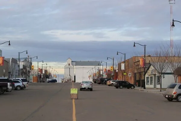
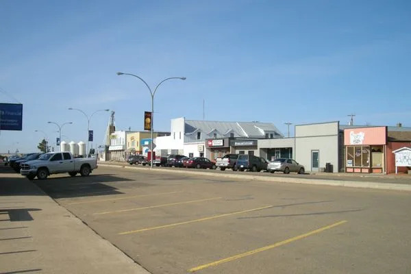
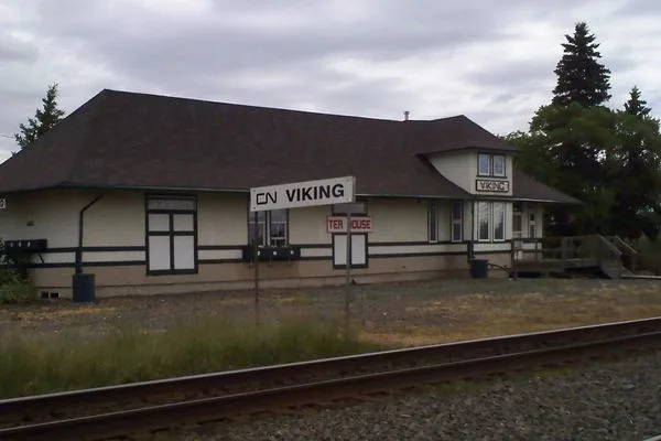
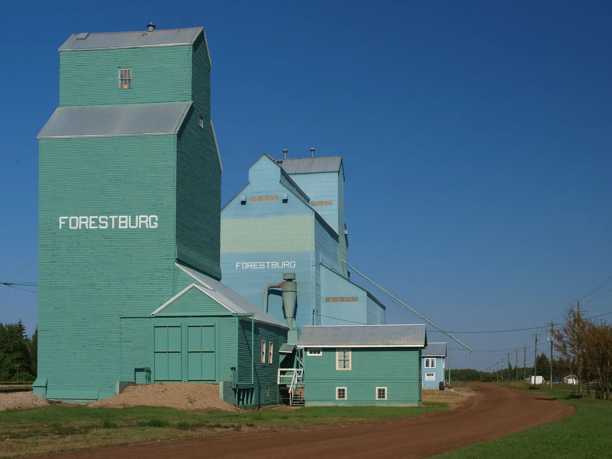
Flagstaff County sits at the heart of UAV AG's service area. With Killam as our home base, we provide fast, reliable drone services across the county — from Highway 13 to Highway 36 and beyond. Large grain operations, pulse crops, and mixed farms all benefit from our aerial capabilities.
Camrose Region
Central Alberta
The Camrose Region spans the aspen parkland transition zone and the Highway 14 corridor — some of the most diversified farmland in central Alberta. UAV AG serves grain and mixed farms across the region with precision mapping, spraying, and volumetric services.

Wainwright Region
East-Central Alberta
The Wainwright Region covers a wide swath of east-central Alberta from the Battle River Valley to the Saskatchewan border. Large grain and cattle operations, industrial-adjacent farms, and remote sites all benefit from UAV AG's flexible drone capabilities and cross-region service range.

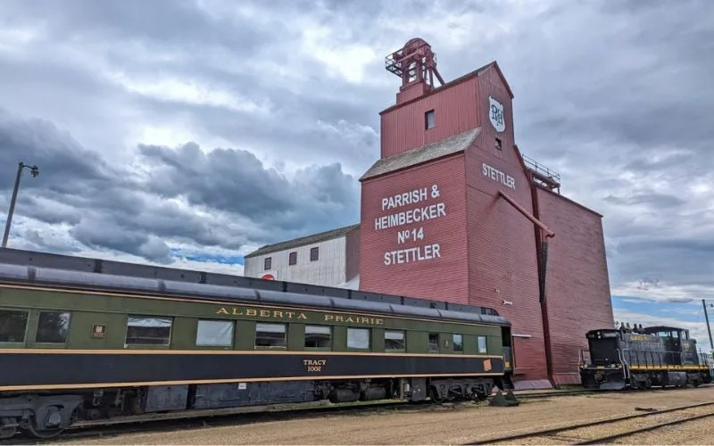
Stettler Region
Central Alberta
The Stettler Region spans central Alberta's mixed farming belt, where large-scale grain production meets cattle ranching. UAV AG brings precision drone capabilities to an area that has historically had limited access to advanced agricultural technology — from high-output operations near Stettler to remote farms near Coronation.

Alberta Metros
Provincial
UAV AG's home base in Killam puts every major Alberta metro within a half-day drive. We schedule full-day service blocks into the Calgary, Edmonton, and Red Deer corridors to give larger urban-fringe operations access to the same precision drone capabilities our home-county clients rely on.


County of Minburn
East-Central Alberta
The County of Minburn stretches along the Highway 16 corridor east of Edmonton, anchored by Vegreville — grain and canola country on productive black soil and parkland. UAV AG runs scheduled service blocks into the county for prescription spreading, mapping, and crop monitoring on the large family operations that make up the area.

All Served Communities
When We're Busy in Your Area
Pre-Seed Mapping & Early Spraying
Aerial field mapping for variable-rate planning, drainage assessment, and the first spray windows as fields dry out across central Alberta.
Crop Scouting, Spraying & Damage Assessment
In-season NDVI scouting, fungicide and herbicide passes during narrow weather windows, plus hail and frost damage assessment when storms move through.
Harvest Volumetrics & Stubble Mapping
Grain pile and stockpile volumetrics across multiple sites in a single visit, plus post-harvest mapping to plan the following season.
Frequently Asked Questions
Where does UAV AG operate?
We're based in Killam, Alberta and serve farms across Flagstaff County, Camrose Region, Wainwright Region, and the Stettler Region — covering 12+ communities in central and east-central Alberta. See the full list above.
Can you fly at my farm if it's not one of the listed towns?
Yes. The town list shows our regular service areas, but we routinely travel to outlying farms across central and east-central Alberta. Reach out with your location and we'll confirm availability and any travel fee.
How quickly can you deploy to a job?
Most bookings within our core service area get scheduled within 2 weeks. Tell us your acreage and weather window and we will fit you into the schedule.
What drone services are available across your service areas?
Crop spraying, aerial crop mapping, crop scouting, grain pile and stockpile volumetrics, and field performance tracking. Industrial-adjacent areas like Hardisty also get stockpile measurement for non-ag clients.
Are you licensed and insured to operate in Alberta?
Yes. We hold the required Transport Canada RPAS pilot certifications for advanced operations and carry commercial drone liability insurance. We can provide a Certificate of Insurance on request before any job.
How do I book a drone service?
Click "Book a Service" above, request a quote via the contact page, or call us directly. We respond same-day to quote requests and confirm scheduling once we know your acreage, crop, and target window.
Don't See Your Area?
We regularly expand our service range. Contact us to check availability near you.