June 1, 2026
Identifying Canola Diseases Early With Drone NDVI on Alberta Farms
How a multispectral drone pass spots sclerotinia, blackleg, clubroot, and aster yellows two to three weeks before the eye catches them — and what to do with the map.
What It Is
NDVI (Normalized Difference Vegetation Index) is a ratio of near-infrared to red reflectance — (NIR − Red) / (NIR + Red). Healthy chlorophyll reflects a lot of NIR and absorbs red light; stressed or diseased canola tissue reflects less NIR and more red. The result is a per-pixel vigour score from −1 to +1.
On a canola field, drone NDVI surfaces stress patches two to three weeks before a farmer walking the field will see lodging, lesions, or premature ripening. That early-warning gap is the entire reason multispectral monitoring exists on a Central Alberta farm.
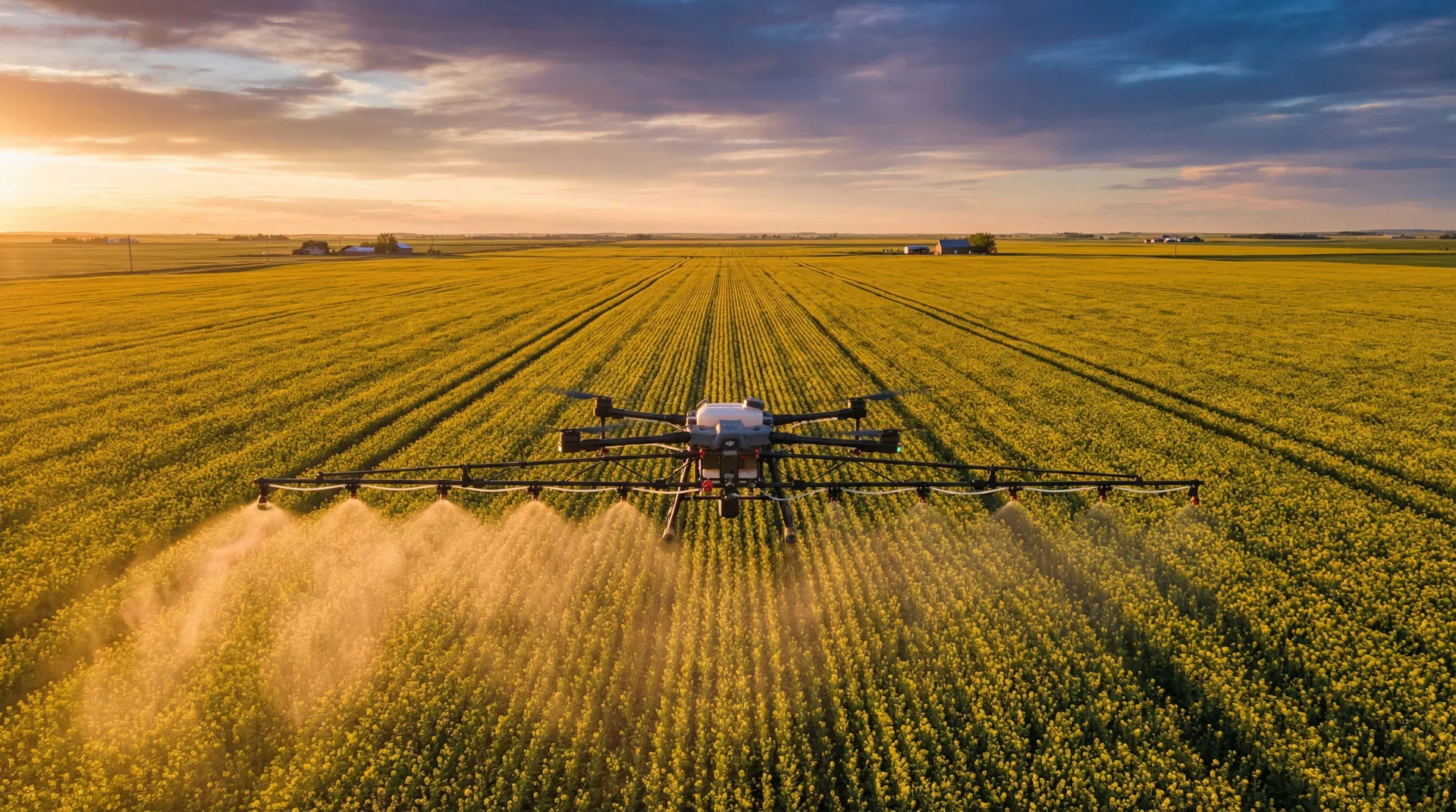
A multispectral drone (DJI Mavic 3M, P4 Multispectral, or MicaSense RedEdge payload on a P1) flies at 80 to 120 metres above ground, captures NIR + Red + Red-Edge + Green bands at 1 to 3 cm per pixel, and stitches the imagery into a georeferenced orthomosaic. UAV AG runs the analysis stack — Pix4Dfields, DroneDeploy, or DJI Terra — and ships a PDF and shapefile back the same day.
Who It's For
Every Central Alberta canola grower running 200+ acres of canola who has either lost yield to sclerotinia, blackleg, or aster yellows in the last three years, or who is paying for a fungicide pass and wants to know whether it actually worked.
Operations with mixed-rotation pressure (canola back in 3 years on the same field, history of blackleg, or proximity to a clubroot positive county) get the most out of in-season NDVI. Seed-canola growers and operations carrying yield contracts above 50 bu/ac also see clear ROI — the cost of one missed disease call wipes out a season of monitoring at typical UAV AG rates.
How It Works
The actual UAV AG NDVI scout workflow for a Central Alberta canola field:
- Baseline pass at 4-leaf to 6-leaf. Captures field-level uniformity baseline and surfaces emergence gaps, seedling blight patches, and herbicide carryover damage before they get blamed on something else later.
- Pre-bolt pass at the 6-leaf to bolting transition. First chance to see clubroot stunting (localised vigour drops with no visible lodging) and early blackleg lesion clusters showing up as low-NDVI patches that do not follow drainage or soil-type lines.
- 20% bloom pass. The most important single flight of the season. Sclerotinia infection courts (chlorotic, slightly lodged patches) show up on NDVI before stem lesions are visible. This map drives a go/no-go on the 20 to 30% flower fungicide call.
- Pod-fill pass at 50 to 70% bloom done. Aster yellows (witches'-broom-style stunted flowering structures) and late-blackleg lodging become obvious here. Last chance to flag pre-harvest segregation decisions on heavily infected zones.
- Pre-harvest verification pass. Confirms which disease zones actually translated into yield loss. Feeds the next-rotation planning and gives the agronomist a clean before-and-after on the fungicide pass.
Each pass is delivered as a georeferenced NDVI raster, a PDF report with annotated low-vigour zones, and a CSV/shapefile that imports straight into John Deere Operations Center, Climate FieldView, or AgLeader InCommand for variable-rate or zone-management work.
Key Dates
- Typical baseline pass:4-leaf to 6-leaf canola (mid-June)
- Pre-bolt pass:6-leaf to early bolting (late-June)
- Sclerotinia decision pass:20% flower (early-July)
- Pod-fill pass:50 to 70% bloom done (mid-July)
- Pre-harvest verification:Late August to early September
- Report turnaround:Same day to 24 hours
How UAV AG Can Help
For a canola NDVI monitoring program we ship a tighter package than generic crop scouting:
- →Multispectral pass with calibrated NIR + Red + Red-Edge + Green bands. Stitched orthomosaic at 1 to 3 cm per pixel.
- →Disease-specific overlay: separate sclerotinia, blackleg, and clubroot pattern layers rather than a single low-vigour blob.
- →Same-day or next-day PDF report plus shapefile + CSV exports for Operations Center, FieldView, and InCommand.
- →Spray-ready follow-through: when aerial fungicide application is approved in Canada, the same UAV AG operator who flew the scout map can fly the pass, so the call and the application come from one workflow.
A Note From Us
Drone NDVI does not replace a boots-on-the-field scout — it tells the scout exactly which 5 to 10 percent of the field to walk. On a quarter section that is the difference between 30 minutes of targeted ground-truthing and three hours of randomized strip walks that miss the patch in the middle.
For the underlying definition of NDVI and how the band math works, see our glossary entry on NDVI (/glossary/ndvi/). For the broader season-long monitoring program, see our crop-monitoring service page (/services/crop-monitoring/).
Frequently asked questions
How early can drone NDVI detect sclerotinia in canola?
NDVI typically surfaces sclerotinia infection courts 2 to 3 weeks before stem lesions are visible to a walking scout. The 20 percent flower pass is the most reliable single detection point — early enough that a fungicide pass inside the 20 to 30 percent flower window can still preserve yield.
Can drone NDVI tell sclerotinia, blackleg, and clubroot apart?
NDVI alone shows a vigour drop. UAV AG layers the NDVI raster with field-history data and disease-specific spatial patterns: clubroot shows localised stunting with no drainage correlation, blackleg shows scattered low-vigour clusters on infected stems, sclerotinia shows chlorotic patches in dense canopy areas. Final identification still benefits from a targeted ground walk.
Which canola growth stages are worth a drone NDVI pass?
The five highest-ROI passes are 4-leaf to 6-leaf (baseline), 6-leaf to bolting (clubroot and early blackleg), 20 percent flower (sclerotinia decision), 50 to 70 percent bloom done (aster yellows and late blackleg), and pre-harvest (yield-loss verification). Most operations book 3 of those 5 passes per canola field.
What does a drone NDVI canola scouting pass cost in Alberta in 2026?
UAV AG charges $6 to $10 per acre for a single NDVI multispectral pass with same-day PDF and shapefile deliverables. Season-long monitoring packages of 3 to 5 passes typically land in the $20 to $35 per acre range. Most operations recover the cost on one correctly-timed fungicide call.
Can NDVI shapefiles import into John Deere Operations Center or Climate FieldView?
Yes. UAV AG delivers NDVI rasters as GeoTIFF plus disease-zone shapefiles compatible with John Deere Operations Center, Climate FieldView, AgLeader InCommand, and Trimble Ag Software. The shapefiles drop straight into variable-rate or zone-management workflows for the next spray pass or rotation planning.
Does drone NDVI work in cloudy Alberta weather?
Yes. Multispectral drones use ambient-light calibration panels and onboard sun sensors to normalise reflectance across cloud cover. Overcast days actually produce more uniform imagery than direct midday sun because shadows are softer. Heavy rain or fog grounds the flight; broken cloud is fine.